Predicting The Potential Future Spread of Lythrum salicaria
As a follow-up to Michael Hayslett’s article regarding the Purple Loosestrife, which ran in the Winter 2019 issue of THE RIVER RUNS, we would like to continue that theme with a scientific paper written by Rob Slusser. Rob is a senior at Radford University in the Geospatial Science Department, and he presented his research to those of us who attended the most recent CRPA Annual Meeting at Camp Mont Shenandoah on May 18, 2019.
Abstract
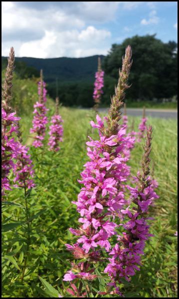
The Allegheny Highlands are known for their breathtaking natural Virginian countryside, which is home to a broad watercourse that collectively drain south into the James River in northern Botetourt County. In recent decades, an invasive wetland perennial known as the Purple Loosestrife (Lythrum salicaria) has made its appearance in close proximity to the waterways which flow directly into the James. This violet-flowered noxious weed threatens indigenous biodiversity of a top tier ecosystem primarily due to lack of natural enemies on the North American continent. The purpose of this research is to estimate the most vulnerable wetlands in the area of study. Geographic information systems (GIS) and remote sensing technologies were used to find the location of ongoing stands of L. salicaria. Data also collected from accredited sources was used to analyze the vulnerability of non-infected wetland areas. Suitability modeling techniques were used to create a predictive modeling of the spatial distribution of Purple Loosestrife. This is a new approach to understand the spread of invasive and non-indigenous vegetation.
Click here to read the essay by Robert K. Slusser entitled Predicting The Potential Future Spread of Lythrum salicaria Using GIS and Remote Sensing in the Allegheny Highlands, Virginia
Related Articles


